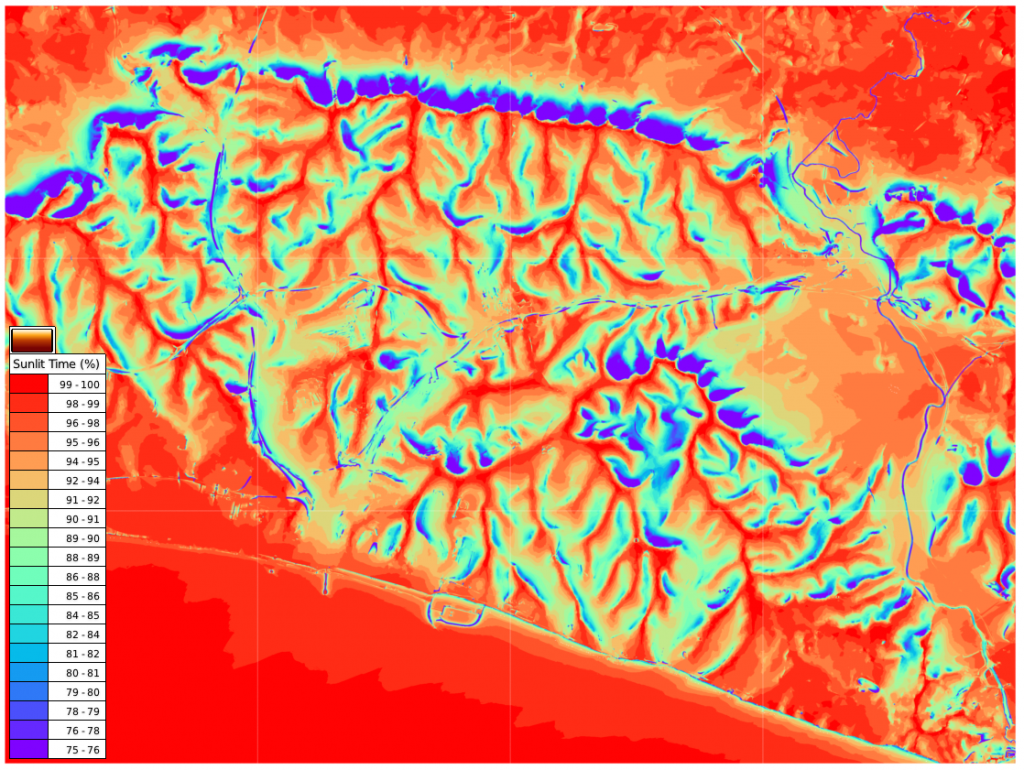
I have just released version 0.4.10, which mostly has changes to the Esri Grid import node (ASC node). Esri Grid is a common geospatial data format.
I have removed the split mesh option from the ASC node as this is now turned on by default. This reduces memory consumption during import, and the user can join the meshes together after import if desired. The image below shows an annual shadow map on an imported 12,000,000 sensor point Esri Grid terrain map. This was done on a machine with 8Gb of ram, and would not have been possible with split mesh turned off.
I have also added an option to deal with invalid data in the Esri Grid file. These points can now be zeroed or deleted from the imported mash.
Esri grid files do not necessarily contain terrain height data but can include instead other geospatial data types; rainfall for example. If you want to colour the imported mesh based on these data values you can use the material node set-up below.
An example colour visualisation of annual rainfall in Africa is shown below.


